Matelica weather: what to expect
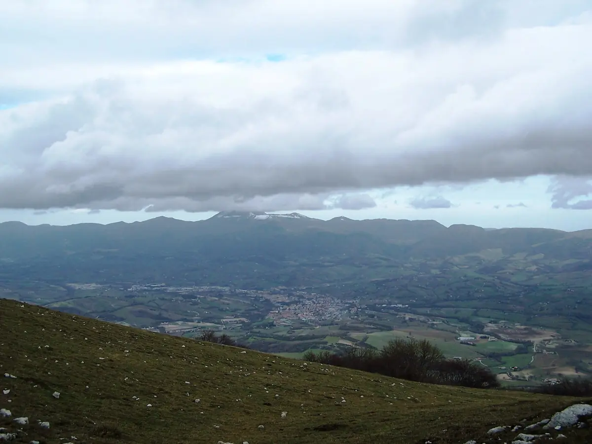
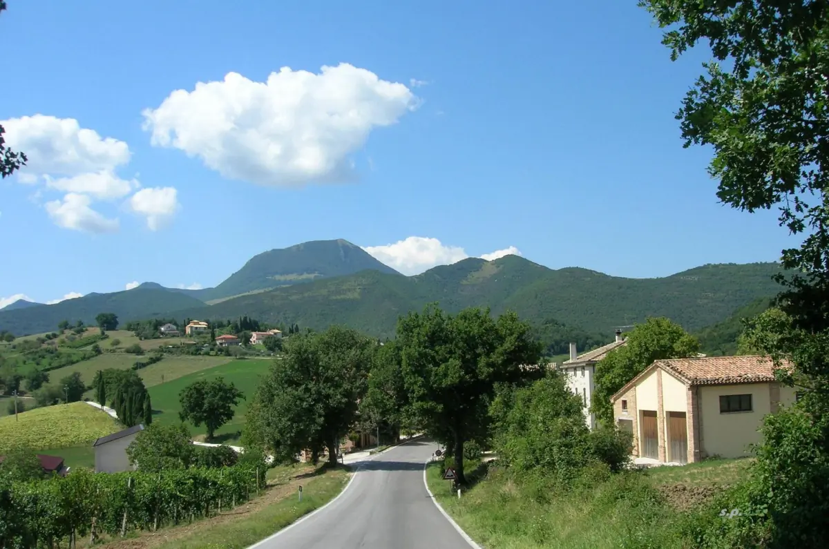
Matelica lies inland in the Esino valley, in a basin that runs north to south. The Verdicchio consortium describes it as more shielded from the sea than the Castelli di Jesi wine zone, with a more continental pattern and a bigger swing between day and night. That is why the coast is only a rough guide to what you will feel on a spring morning or an autumn evening.
The table below is a regional reference. It comes from the airport station at Falconara near Ancona, 15 m above sea level, with a reference period of 1971–2000. The data is old and it is from the coast. Use it to compare months with each other, not to read exact values for Matelica.
Temperature and rain, month by month
Average daily highs and lows and mean monthly rainfall. No records and no forecast for 2026.
| Month | High °C | Low °C | Rain mm |
|---|---|---|---|
| January | 9.7 | 1.4 | 43.8 |
| February | 10.7 | 1.6 | 49.3 |
| March | 13.6 | 3.6 | 56.8 |
| April | 16.9 | 6.4 | 58.8 |
| May | 21.7 | 10.9 | 54.0 |
| June | 25.6 | 14.5 | 60.4 |
| July | 28.2 | 16.9 | 47.1 |
| August | 28.1 | 17.2 | 76.4 |
| September | 24.5 | 14.0 | 72.6 |
| October | 19.4 | 10.0 | 75.9 |
| November | 13.9 | 5.7 | 86.0 |
| December | 11.4 | 2.6 | 58.1 |
The driest months in the series are January and July. The wettest are November, August and October. In an inland basin, expect a bigger swing between day and night than these numbers show. No month guarantees dry weather.
Tours and day trips in the Marche
Caves, wineries and hill towns to pick by the weather, with live prices and availability.
The seasons in Matelica and nearby
What changes through the year, using the reference values from the table.
Spring
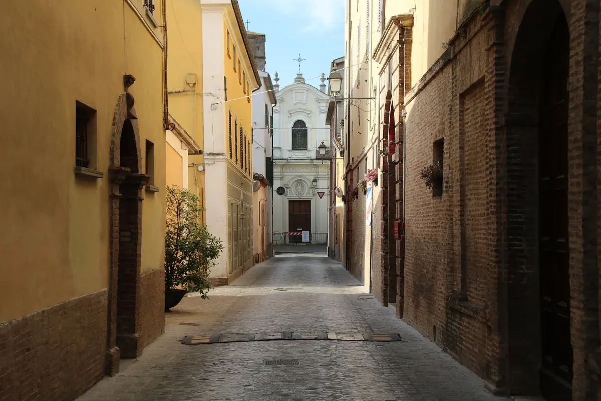
From March to May the reference highs run from 13.6 to 21.7 °C and the lows from 3.6 to 10.9 °C. Rain falls between 54 and 59 mm a month. The old town and its main square are easy on foot. Higher trails can stay wet or cold, so ask about conditions before you climb.
Monte San Vicino →Summer
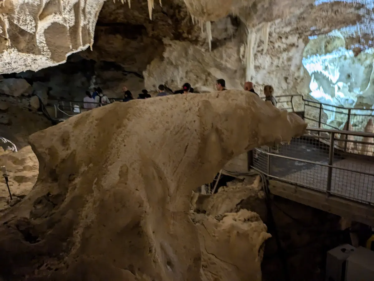
From June to August the reference highs sit between 25.6 and 28.2 °C. Summer 2026 was the warmest in the regional series since 2000, with below-normal rain. That is one year, not a rule. The tourist route in the Frasassi Caves lasts about 75 minutes at about 14 °C all year, so bring a sweater even in August.
Frasassi Caves →Autumn
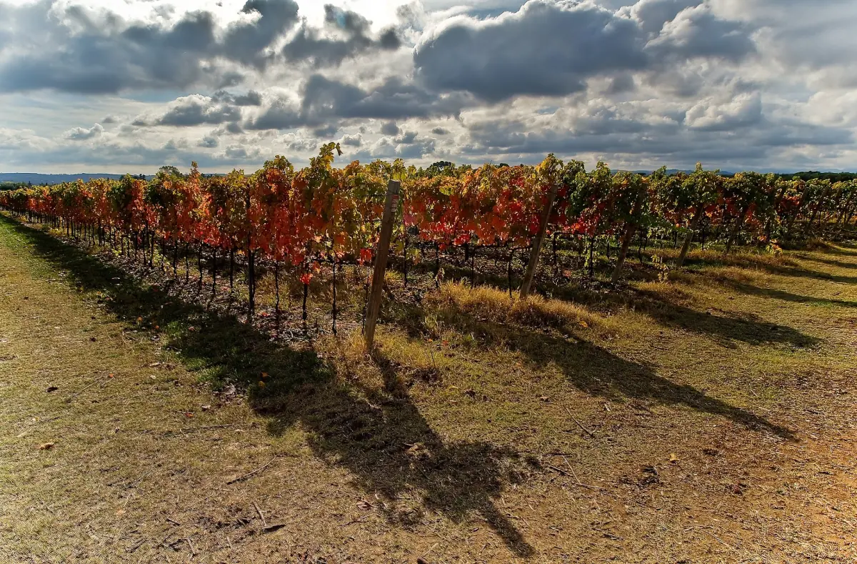
Highs fall from 24.5 °C in September to 13.9 °C in November, and rain rises: 72.6 mm in September, 75.9 in October and 86.0 in November. Pack a rain jacket. The Verdicchio vineyards change color, and dry days are good for walking between the rows.
Verdicchio di Matelica →Winter
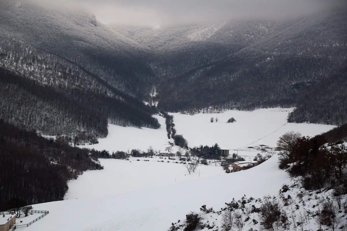
From December to February the reference highs are 9.7 to 11.4 °C and the lows 1.4 to 2.6 °C. Snow in the mountains is possible, and Monte San Vicino can be snow-covered. Winter trail conditions are not in the table, so ask before you go.
Weather and your plans
Four things to check so you pick the right day.
The summit trail
Trail 112A leads to the top of Monte San Vicino in about 45 minutes of climbing, with about 300 m of ascent and difficulty E. The trail sheet with these figures dates from 2017. It does not say whether the path is open today after snow, rain or works. Ask the nature reserve before you climb.
Fire in the woods
Fires are forbidden in the reserve outside equipped areas. If you see a fire, call 112. In dry summers this matters even more.
Swimming at Lake Castreccioni
The lake lies in the territory of Cingoli. The regional bathing season in 2026 ran from May 1 to September 20, and it applies to single sections, not the whole shore. One stretch of the lake is outside monitoring because it is not accessible. Check the status of the section you want before you swim.
Daily readings
The Marche regional weather service (AMAP) runs a station at Matelica and shows daily measurements. They tell you what the weather is doing today, not what the local climate is.
Plan the rest of your trip
The best time to go also depends on how you travel and where you sleep.
Matelica weather: frequently asked questions
What is the best time to visit Matelica?
It depends on what you want to do. Spring and early autumn suit walks in town and among the vines. The caves work in almost any month, because it is about 14 °C inside all year. No month guarantees dry weather.
Is Matelica cold in winter?
The coastal reference values give highs of 9.7 to 11.4 °C and lows of 1.4 to 2.6 °C from December to February. In the inland basin the swing between day and night is bigger, and the mountains can have snow.
When does it rain most?
In the reference series November is the wettest month with 86.0 mm, followed by August and October. These are old averages from the coast, not a forecast.
Can I swim in Lake Castreccioni?
Only in the sections marked for bathing and during the bathing season, which ran from May 1 to September 20 in 2026. One stretch of the lake is not accessible. Check the status of the section before you enter the water.
Where do I find today's weather in Matelica?
The regional service AMAP runs a station at Matelica with daily readings. For the coming days use a current forecast, not the table on this page.