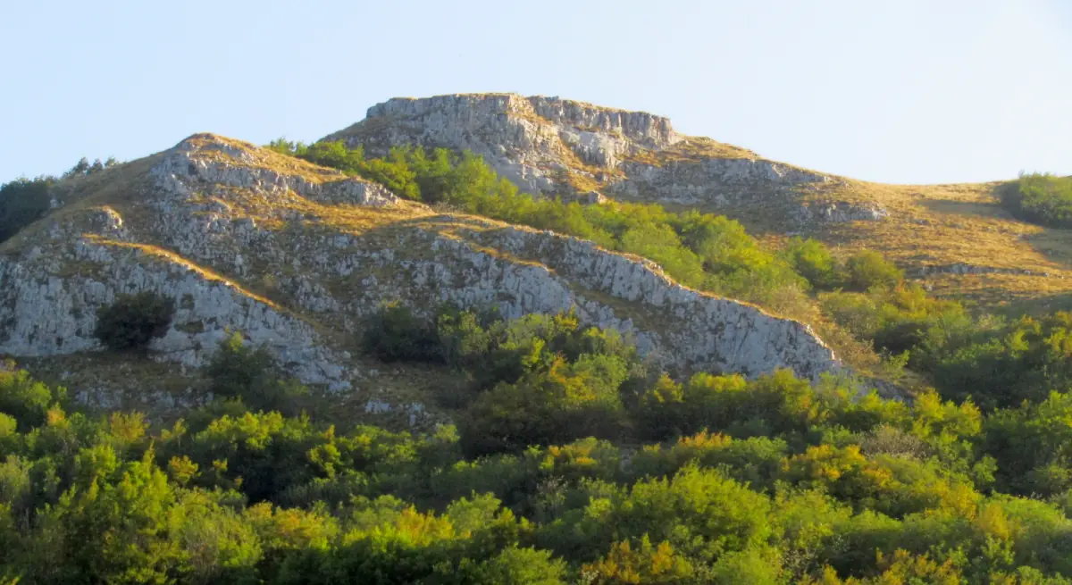
Monte San Vicino at a glance
Monte San Vicino is part of the Monte San Vicino and Monte Canfaito Regional Nature Reserve. From Matelica it is the easiest place for a hike at altitude: beech woods, summit meadows and a cross on top. You do not need mountaineering gear or a full day, but you do need proper hiking shoes.
The Marche region gives the height as 1,479 m, other guides 1,484 m. For walking it makes no difference. The reserve publishes its own trail map, so use it for the route numbers.
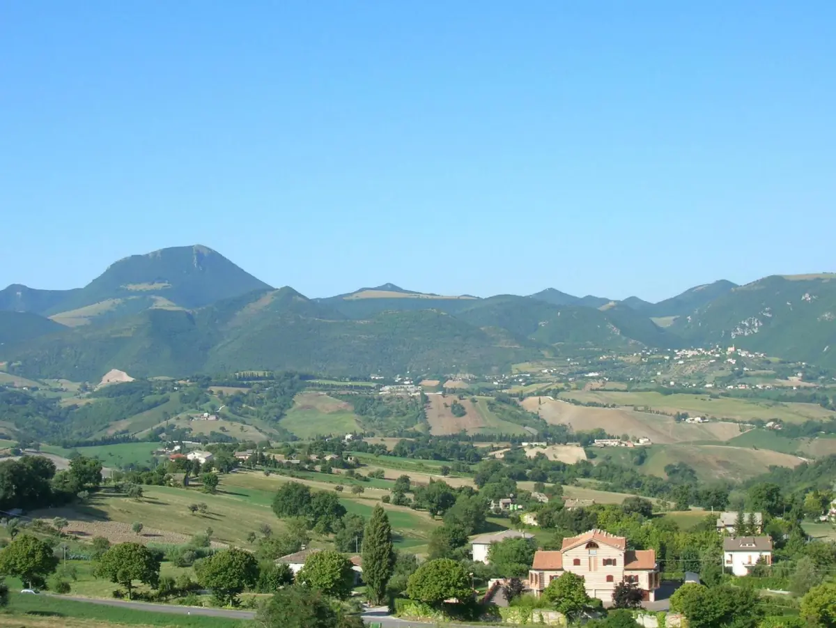
Trails on Monte San Vicino
The routes the reserve describes. They are outlines: check locally whether a path is open today.
| Trail | Route | Good to know |
|---|---|---|
| 112A | Prati di San Vicino to the summit | Beech forest and rocky sections up to the cross, about 45 minutes uphill |
| 165 | Canfaito, Faldobono, Prati di San Vicino | Links Monte Canfaito with the meadows below the summit |
| 168 | Braccano, Sentiero Francescano, Roti | Starts at Braccano, a hamlet of Matelica |
| 168A | Gola di Jana | Leads to the Jana gorge, starting near Braccano |
The leaflet for trail 112A, published in 2017, lists about 300 meters of ascent, difficulty E (hiking) and a descent of about 35 minutes. Use it to judge the effort. It says nothing about snow, mud or works in 2026, so check conditions and the weather for your day before you start.
Tastings, caves and hill towns near Matelica
A Verdicchio tasting, the Frasassi Caves and other Marche day trips with live prices and availability.
Planning your walk
A few practical rules.
Start from Braccano or the meadows
Braccano is a hamlet of Matelica with wall paintings and the starting point for the Gola di Jana. The Prati di San Vicino are the shortest approach to the summit. For parking at the meadows and the access road, read the signs on site and ask the local tourist office before you set out.
Other towns around Matelica →No fires outside equipped areas
The reserve forbids lighting fires outside equipped areas. If you see a fire, call 112. The reserve's notice is not a general closure of the forest. It only sets out the behavior it asks for.
Grazing animals and wildlife
The area has meadows and pastures. Keep a respectful distance from animals and do not approach wildlife.
Sleeping at the foot of the mountain
Agriturismo Il Colle del Sole is, according to its operator, about 6 km from Matelica at 430 m, at the foot of Monte San Vicino. More places and tips on choosing an area are on the where to stay page.
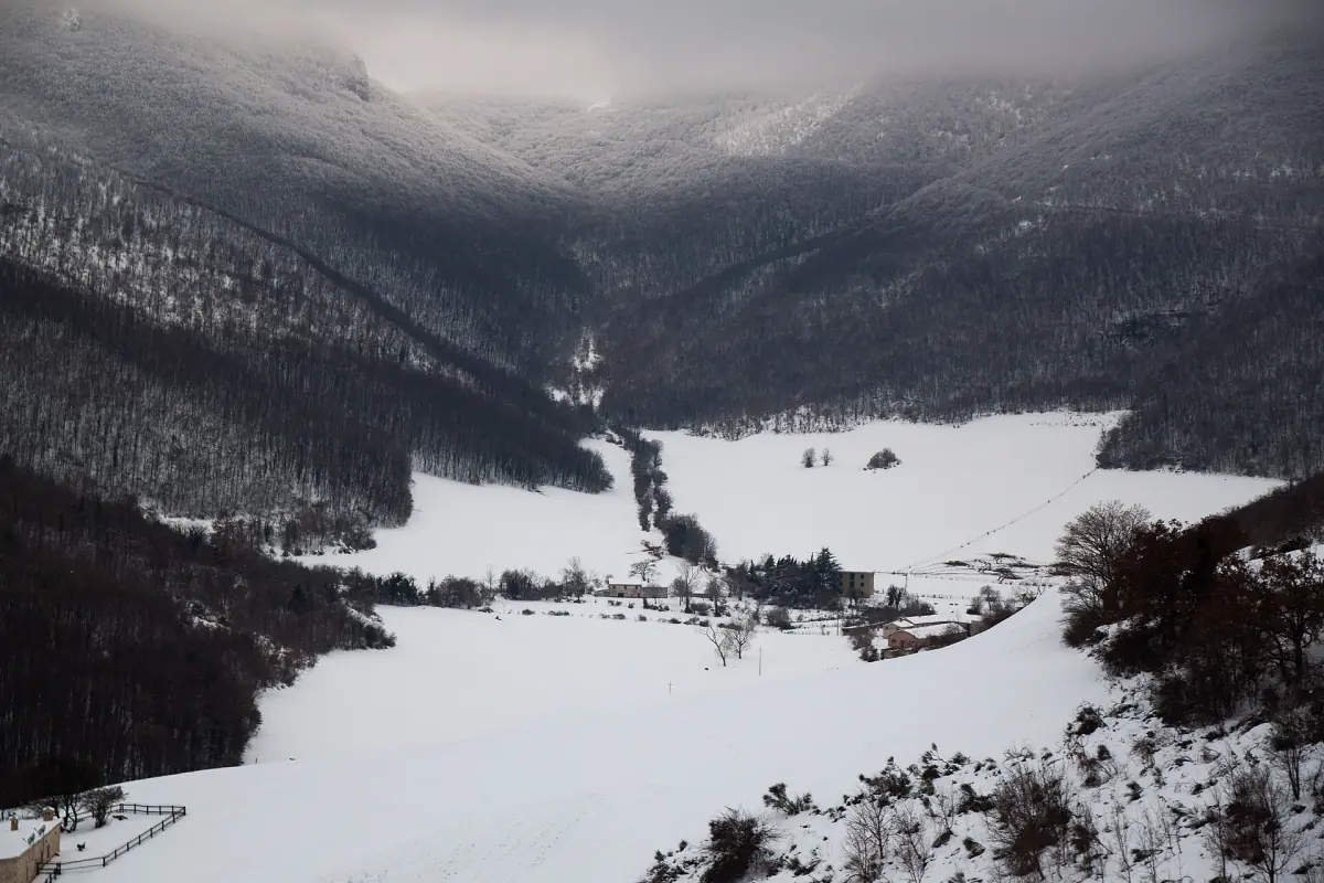
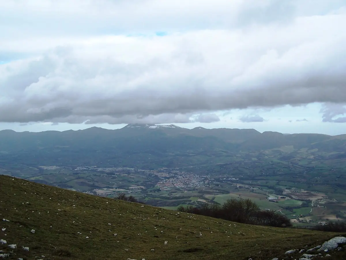
Where to stay in Matelica →The mountain changes with the seasons. The reserve can be seen under snow, as in the photo here, but that does not mean the trails are walkable in winter. With snow or ice, judge conditions on the day and turn back if in doubt.
Lake Castreccioni
The lake below the mountain, but outside Matelica.
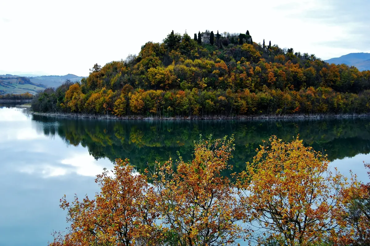
Lake Castreccioni, also called Lago di Cingoli, is a reservoir in the territory of Cingoli. It is not in Matelica town, so plan to reach it by car. Monte San Vicino can be seen from the lake, and the photo here shows exactly that view.
Swimming needs care. ARPAM, the regional environment agency, lists designated bathing sections at Castreccioni and other inland lakes for the 2026 season. Its 2025 season report also leaves one part of the lake out of monitoring because it is not accessible. So swimming applies to the marked sections only, not to the whole shore. The 2026 bathing season was set from 1 May to 20 September. Before you get in, check the ARPAM bathing portal and the signs on site.
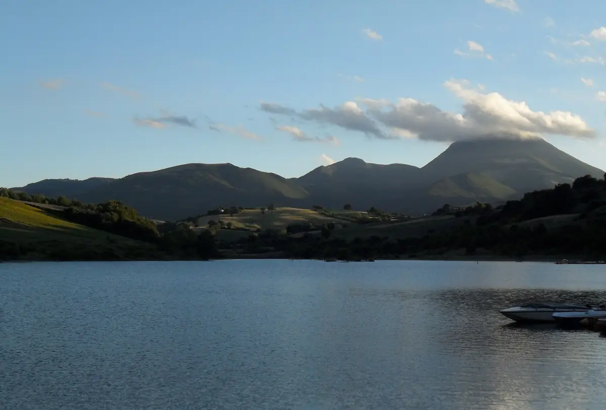
Another view of the lake in autumn is in the photo below.
Monte San Vicino: frequently asked questions
How high is Monte San Vicino?
The Marche region gives 1,479 m and other guides 1,484 m, so you will find both values.
How long does it take to reach the summit?
The reserve describes trail 112A from the Prati di San Vicino to the summit as about 45 minutes uphill and about 35 minutes down. These are rough times and depend on fitness, ground and weather.
Is Monte San Vicino open all year?
There is no guarantee of winter access and conditions change with snow and mud. Check on site, and if there is snow or mud, think about turning back.
Can you swim in Lake Castreccioni?
Only in the designated bathing sections, and always following the signs and ARPAM data. One part of the lake is not accessible and not monitored. The 2026 bathing season runs from 1 May to 20 September.
Can I light a fire or have a barbecue?
No. Fires are forbidden outside equipped areas. If you see a fire, call 112.